
03 Aug TAT Day 3: Near Shippensburg PA to Hancock MD (251km/156mi)
Deer +6, big black snake +1, charging cable -1
After being well fed and looked after by Paebr332 and totaly not murdered, we headed out to get some fuel and do some Amish spotting. Sadly no Amish, so it was back onto the MABDR. A mix of forest roads, backcountry roads and some quite busy main roads.
About an hour or two in, we came to an intersection where the gps track said go straight, but the only road ahead of us was a snowmobile track. We’re pretty sure we don’t remember reading about a snowmobile track on the MABDR ride reports? We did it anyway. It was rather rocky,and we assume would be better with snow. This was at the the intersection of Cold Springs Road and Teaberry Road roughly lat=39.83923 lon=-77.434845.
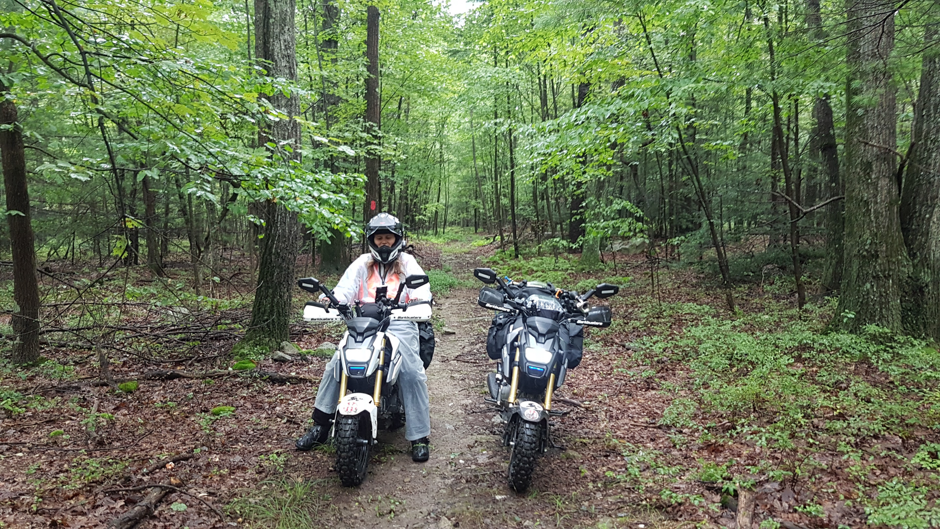
On the snowmobile road
We pfaffed quite a bit today, about a half hour in I realized my phone wasn’t charging. We stopped to investigate, but gave up and just used the other backup usb charger. We think it is the the cable. Using the backup charger works fine so will stick with that until Simon can thread a new charging cable through.
Weather was a bit cooler today ( not too cold for ice cream though) and rain was on and off. When we got to Antietam Visitors centre it was warm and sunny. And hour or so later and it was pissing down. We rode in the rain for a while and decided around 3:30 that rain kinda sucks. We were hoping to camp for the first time tonight, but no one likes setting up camp in the rain.
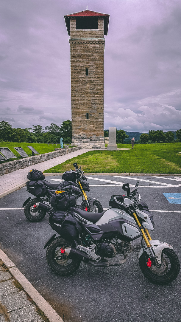
Antietam
We have decided to motel it for the night, and get started again early in the morning. Weather is looking much better for tomorrow.
View this post and comments on ADV Rider![]()


