13 Sep TAT DAY 44: Diamond Lake OR to to Skull Creek Campsite OR (287km/187mi)
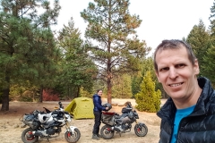
Up early to get on the road. After packing everything up we had a gear malfunction. After Sim had posted that our headsets had done great so far, his one up and died completely. Luckily we had a spare. Unluckily, it was buried somewhere under his seat, so he had to pull everything off to get to it. Amazingly enough the spare headset had a full charge and paired immediately after all this time sitting there 🙂
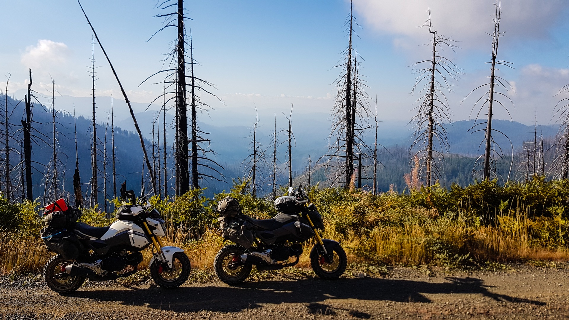
The short bit of road to get back on the trail was very cold. Temp. gauge was showing -3C (26F) but we were prepared and had layered up (x6). The trail was quite good today, it looked like there had been some rain which kept the dust down much to Sims relief at least for the first part. The trail wound through the forest and popped us out on a ridge line around mid morning where we were finally able to get some views. Unfortunately what we could see was quite hazy and you could smell the smoke in the air. After a morning snack of chocolate pudding (again) the trail continued on, winding, narrow hard pack through what appeared to be either natural, or much older forest. It was marvelous.
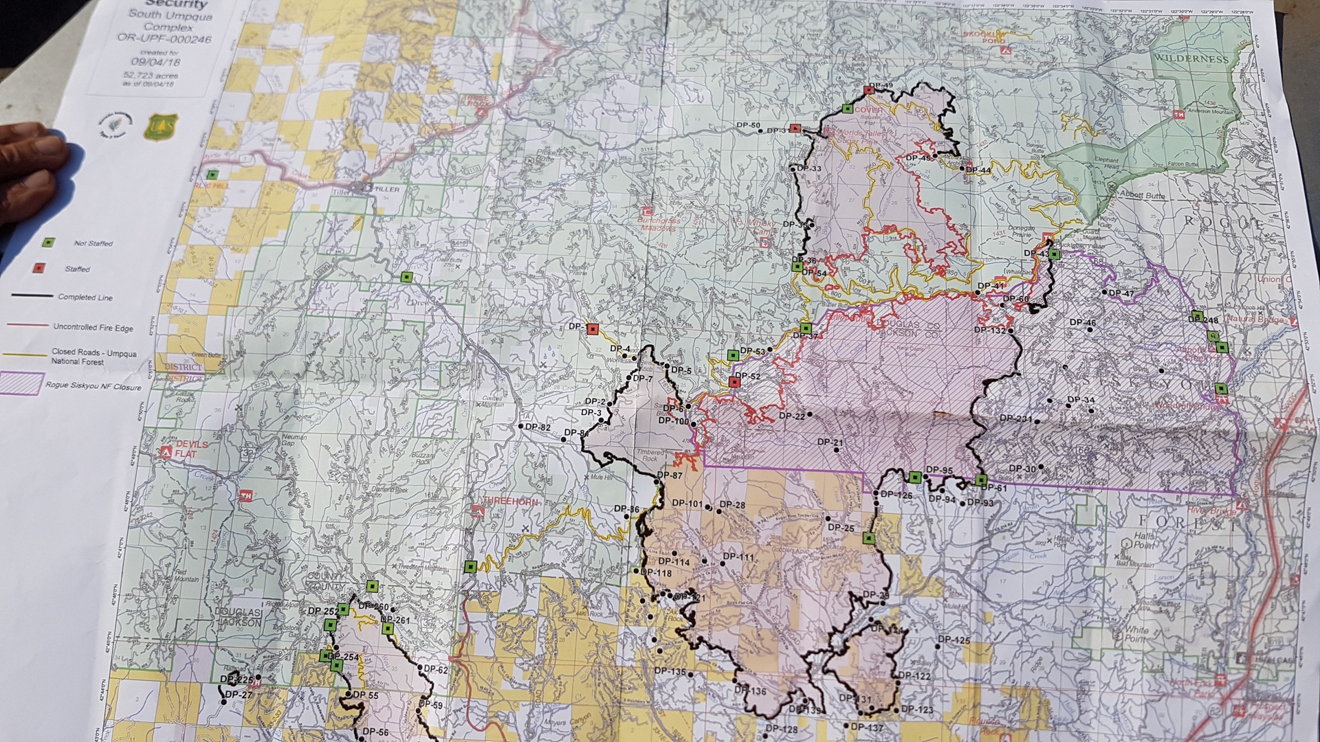
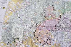
At the turnoff to FS2925 Black Canyon road, there was a barrier and a ranger. The route was closed due to a fire further on. We chatted with the ranger who is usually based in Michigan but is over here helping out with the fires, before taking the road to Tiller. We got there too early for lunch, so we carried on for another hour and stopped at a random spot in the forest for some ham and cheese rolls.
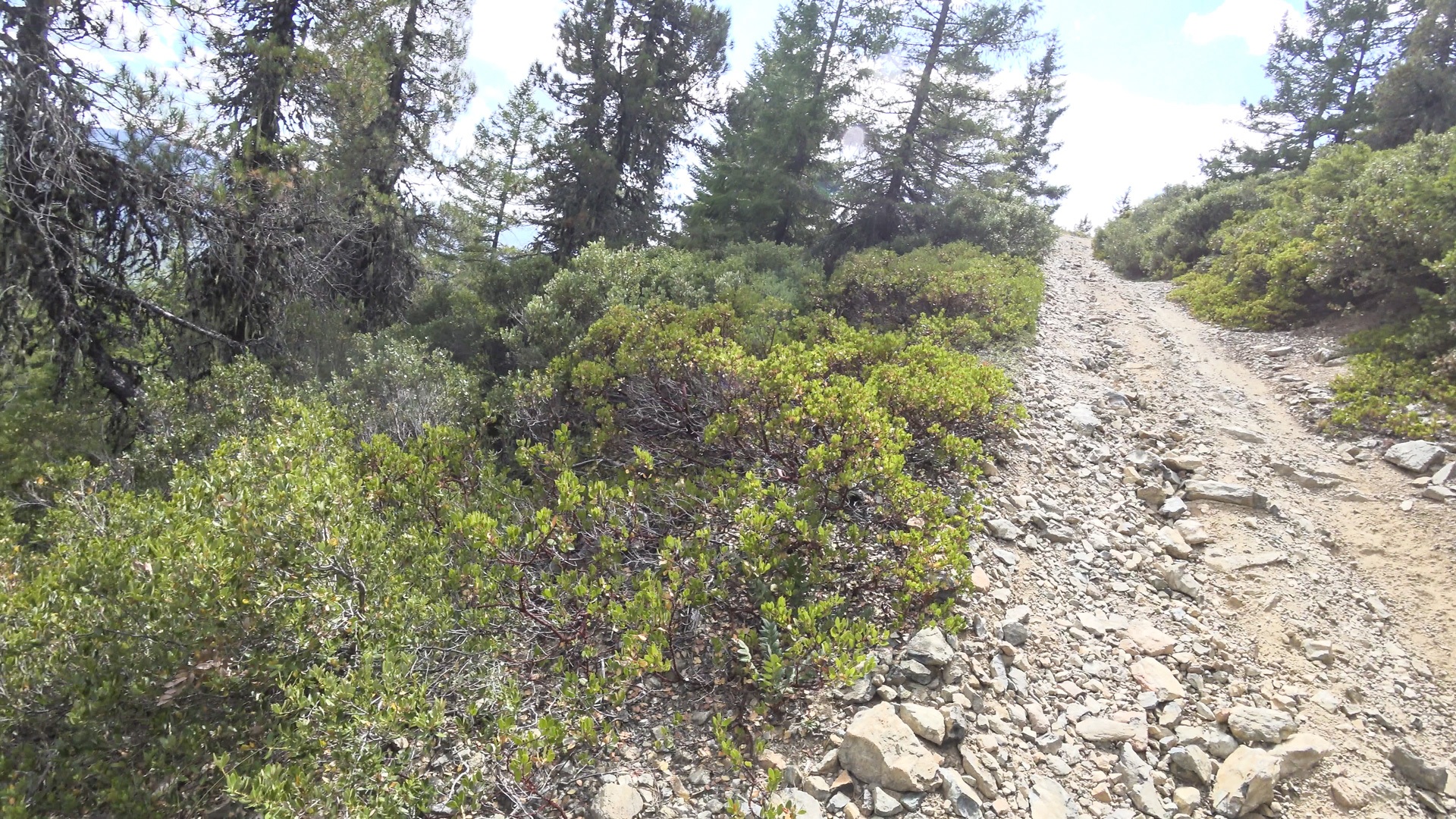
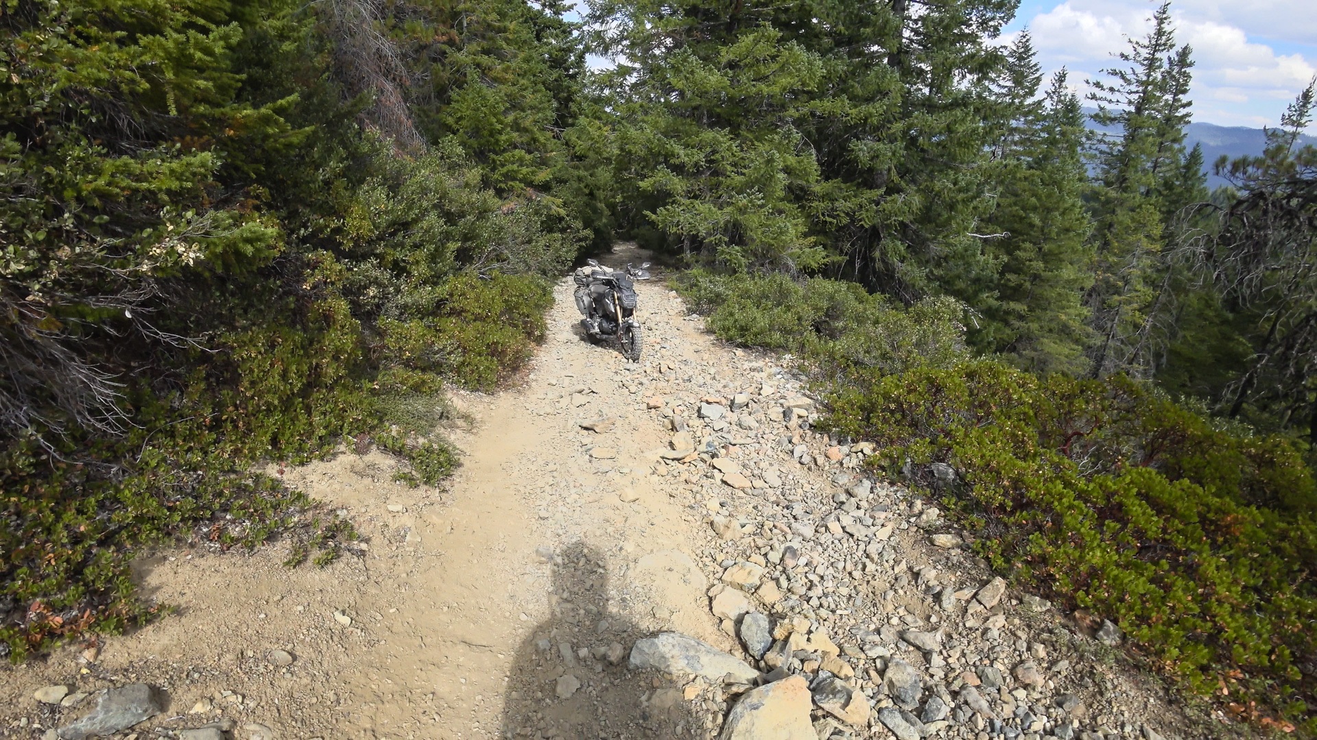
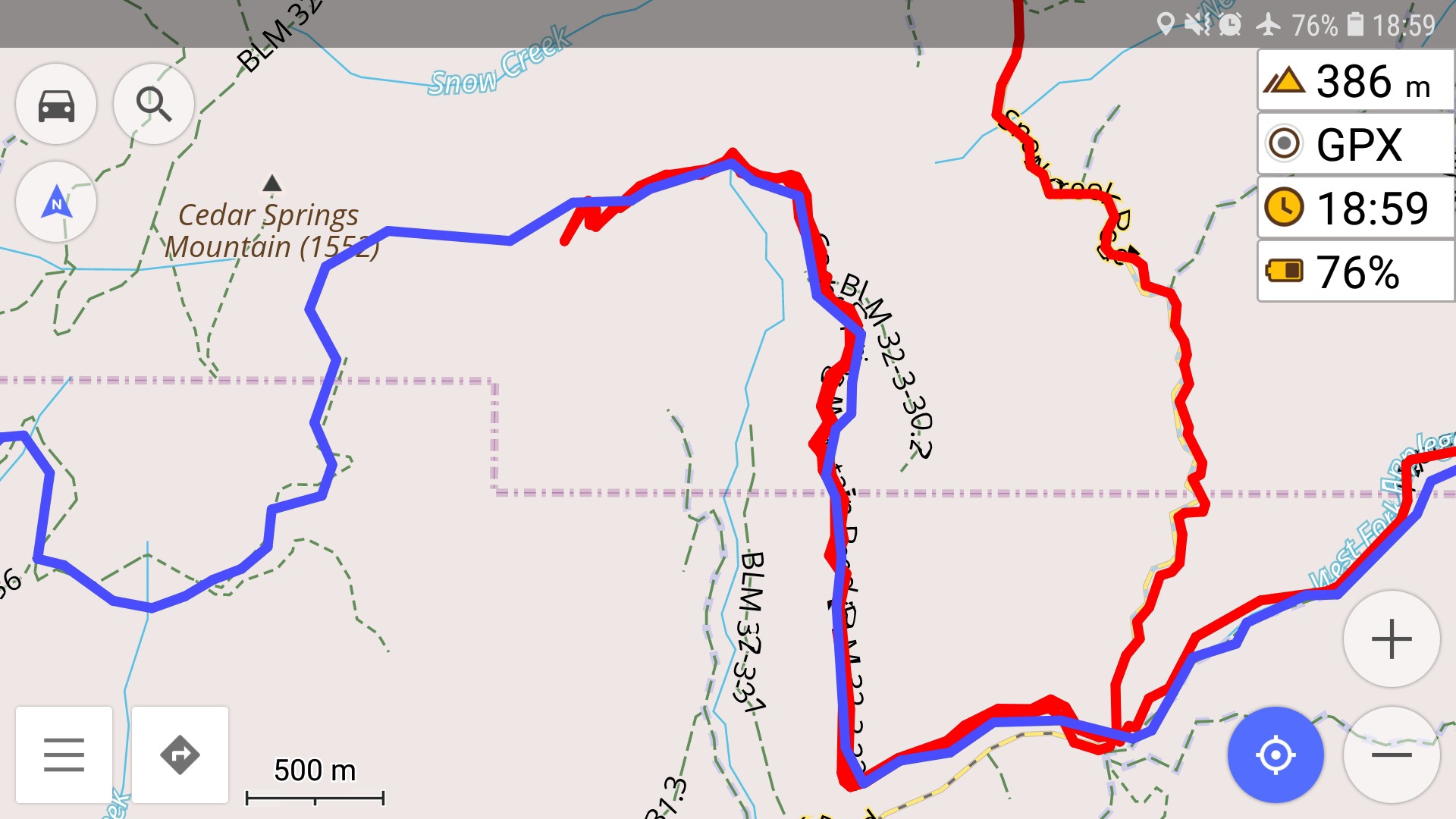
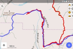
After lunch we tackled the section we had been dreading all morning between Tiller and Azalea. BLM 32-3-32 Also noted as Cedar Spring Mountain Road on our GPS, but how on earth that monstrous thing can be called a road we do not know. It was steep and loose and had awkward turns, we gave it a shot, but ultimately had to turn around and bypass it. Simon dropped his bike at least 3 times before giving up. I was smart enough to hang back further down and let him check the route ahead. Considering we have managed to drag our bikes over all the passes, through everything else the TAT has thrown at us, around slickrock and white rim, for us this was the toughest challenge and just beyond our skill level. We might have tried persevering, but given that there was an easier bypass not too far away (Snow Creek Road), it just didn’t seem worth the risk.
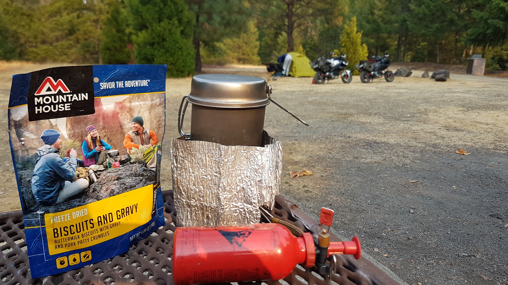
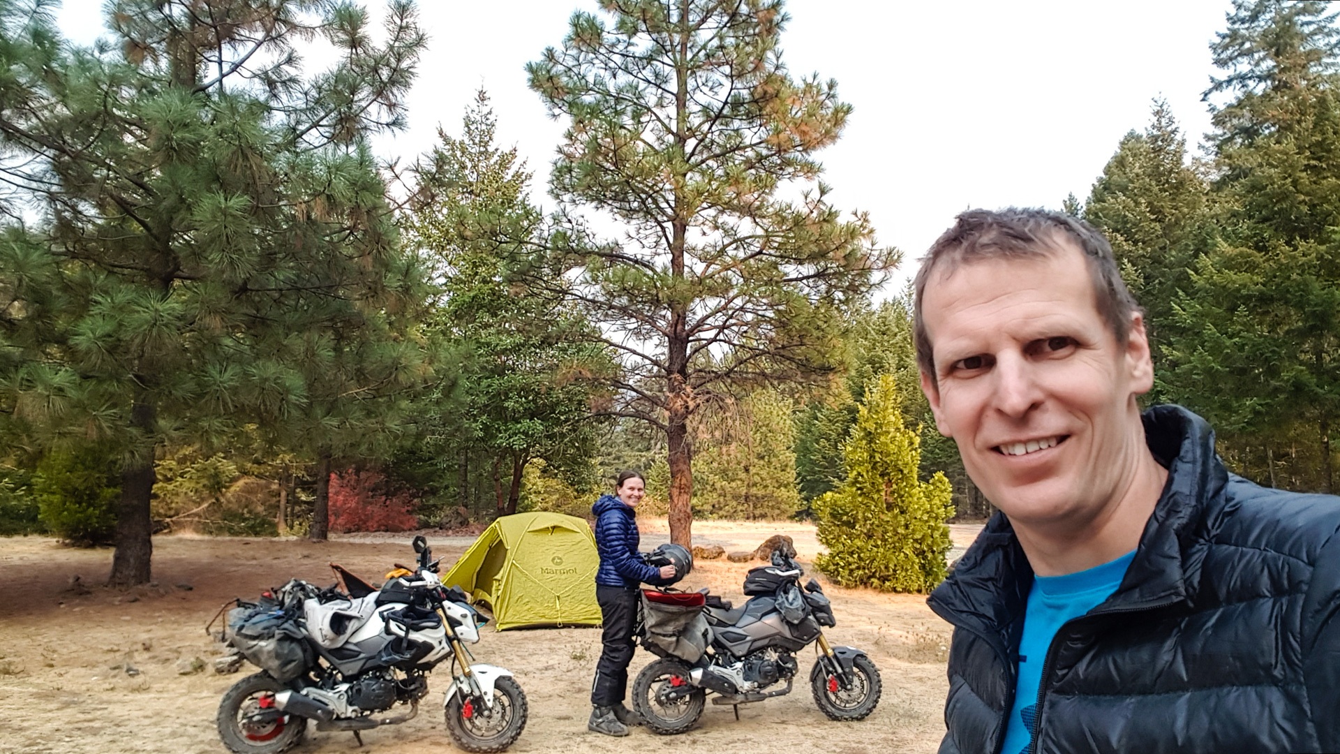
We have camped for the night at Skull Creek where we have the campground to ourselves. We have a leisurely 140 odd km to go to Port Orford tomorrow.
View this post and comments on ADV Rider![]()


